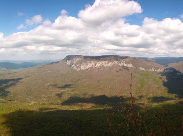
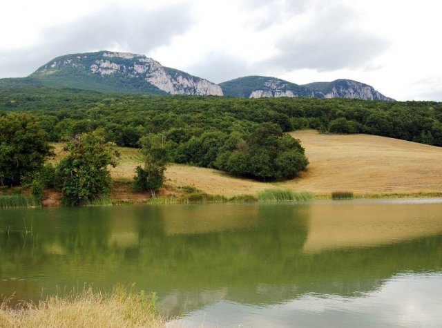
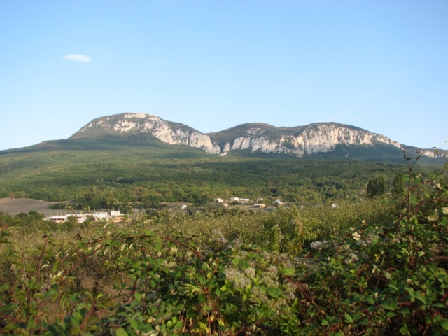
Boyka is a spur of the Ai-Petrinskaya yaila, separated from the main massif by the gorge of the Grand Canyon. Steep cliffs Boyka overhanging from the east over the village. Sokoliny. When you enter the village from the direction of Bakhchisarai they are visible in the left windows.
There are 5 peaks in Boyka massif: Kurushlyuk (1026m), Boyka (1087m), Kush-Kaya (1107m), Karaul-Kaya (1134m) and Sotira (1172m).
Boyka is not as famous as its neighbor the Grand Canyon, but it has its own interesting objects, both natural and historical.
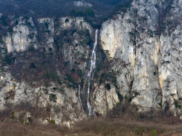
Not many people know that there are waterfalls on Boika. In local history literature you will not find even a mention of them. Employees of travel agencies, in general, do not know about their existence (maybe for the best!).
 .
.
Only backpackers, having learned the route from their fellow backpackers, make their way here via narrow mountain trails. Both waterfalls: Boykinsky and Vesenny are located on the precipice of the western slope of the massif. Both of them are seasonal and operate only in spring, during intensive snow melting on the yaila, or after heavy rains. Between them there is one more curious object, also neglected in the literature — Dyriny Kuluar. It is a narrow cleft filled with loose stones, but nevertheless quite accessible for climbing it (of course, at the appropriate level of physical fitness). About in the middle of the crevasse there is a small tunnel ending with a narrow opening. Because of it the couloir got its name. Hole couloir is a tourist name, the Tatars called it — Teshik-bogaz (hole passage), and the Slavic population — Poacher’s laz. The latter name, it must be assumed, is recent. In the past, the width of the hole was sufficient for a 100-kilogram uncle to crawl through it.
But not too long ago, a rock that fell from somewhere above covered half of the hole, leaving a gap so wide that only those with a perfect figure could squeeze through it, and with difficulty. So now the Hole Couloir can be used as a weight test. Those who abuse pies and buns will have to go around (or rather around) the rock on the left side of the cliff.
At the top of the couloir, a small yew grove is nestled among the piles of stone blocks.
If you get out of the couloir and go around the rocks sticking out on the right, you can get to the rock Badem-Kaya, with a beautiful observation platform, from where you can see not only the surrounding valleys, but also the path you just passed.
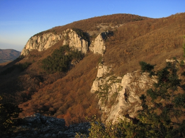
Badem-Kaya is the left (orographically) side of the Dyriny couloir, so it offers an impressive view of its cleft. Badem-Kaya is translated from Tatar as «Almond Rock», although there are no almond trees on it, only juniper, pines, and all kinds of deciduous shrubs.
The top of Boikinsky massif is covered with beech-hornbeam forest with occasional glades. Some places are absolutely wild. Sometimes you can walk through the forest for a long time without coming across a single trace of human presence. Not a piece of paper, not a plastic bag! Trails, except for planned routes, are poorly marked. That means that people don’t walk here very often. I can’t even believe that some 600 years ago there was life on the plateau! On the ridge connecting Kurushlyuk and Sotiru, there was a rather large settlement for its time — the town of Poika. «Honorable Poika», as it was called in one of the medieval documents.
 .
.
The inhabitants of Poika were engaged in the metal foundry trade. They extracted iron from nodules found nearby — in the vicinity of Mulhudur Pass. The road connecting the South Coast and the Belbek valley passed through Poika. The path of the modern 62nd route leading from Boyka to the villages Bogatyr and Nagornoe through Mulhudursky pass coincides in many respects with the medieval road. In some places, fragments of old cairns have been preserved along the trail.
Once on this road we met a company of 3 people with a metal detector, returning from Boikinsky massif. It would be too loud to call them black archaeologists. Rather so, amateurs. During the day these antiquity lovers collected quite a decent amount of old horse and bull horseshoes. Isn’t this a testimony to the once bustling life!
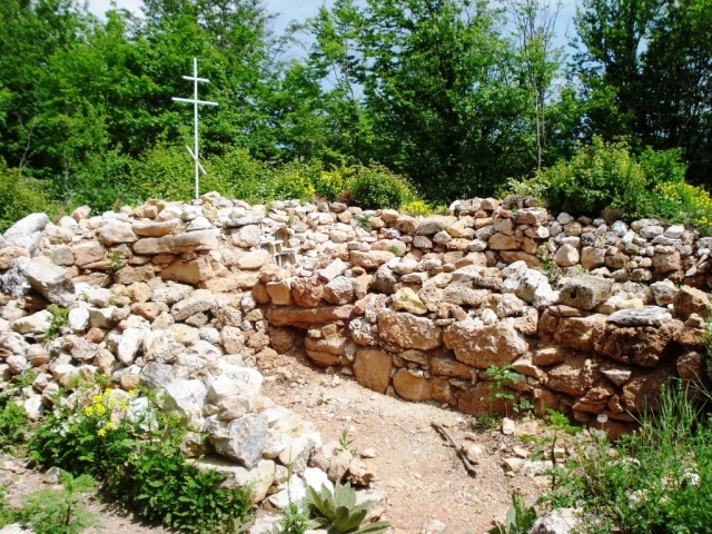
The settlement on Boyka appeared in the XX-XI century and existed until the end of the XV century, when it was destroyed by the Turkish invasion. From it there are not preserved even some intelligible ruins. The only monument is the remains of the Cathedral of Christ the Savior. It was a three-nave and three-apsed temple, the walls and floor of which were made of local stone — Boykin conglomerate. Boykin conglomerate is considered one of the most decorative rocks of the Crimea. It is especially beautiful on the polished section. The rectangle of the ruins of the temple is all that is left to the descendants as a memory of «Honorable Poika». The ancient walls of the town buildings have long since collapsed and overgrown with grass. But for a long time in the villages of the neighboring valleys there were legends about the rich city spreading in the mountains. Even longer lived the name of the settlement. It lives even now, but already as the name of the mountain massif. Boika is a slightly modified «Poika».
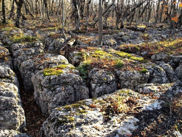
Poika was not the only settlement of the massif. Archaeologists have found traces of six settlements here.
 .
.
Moreover, people settled in such places, which we would not call convenient for living, for example, in the vicinity of the spring Dzhevizlyk (experienced tourists know where it is). On one side is a mountain slope, on the other side is a rather steep descent to Big Canyon. All around the forest, no cozy valley for you! And people lived!
To protect the settlements on the slopes of the mountain they built fortifications. Three of them were on the slopes of Kurushlyuk from the side of the Kokkoz valley. The fortifications were small plazas enclosed by stone walls. However, the walls were powerless before the advancing Turkish hordes. At the end of the XV century Boykin settlements ceased to exist. Since then no one settled in these places. New settlements nestled in the surrounding valleys, but Boyka itself remained deserted for the last 500 years. In Khan’s times, the Boyka forests became one of the favorite hunting grounds of Crimean rulers.
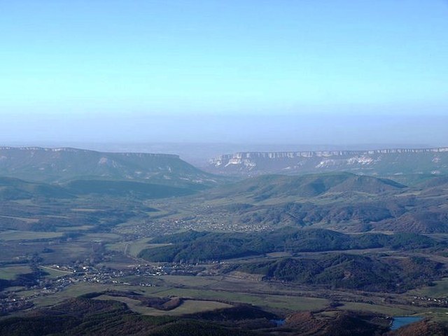
Up until the XX century these were wild, almost untraveled places. And even now it is worth to go off the path, and you get into a real forest wilderness.
Probably, this detachment from the civilized world gave a reason to create a mysterious halo around these places. Followers of esoteric teachings, ready to declare almost every more or less significant mountain as a «place of power», call Boyka no other than the Crimean Shambala and made up so incredible stories about it that it is awkward even to retell them. Well, everyone believes in their own legends. Someone who can see the true beauty of nature does not need to embellish the world around him with mysterious fictions. He can see a lot of unusual things around him without them.