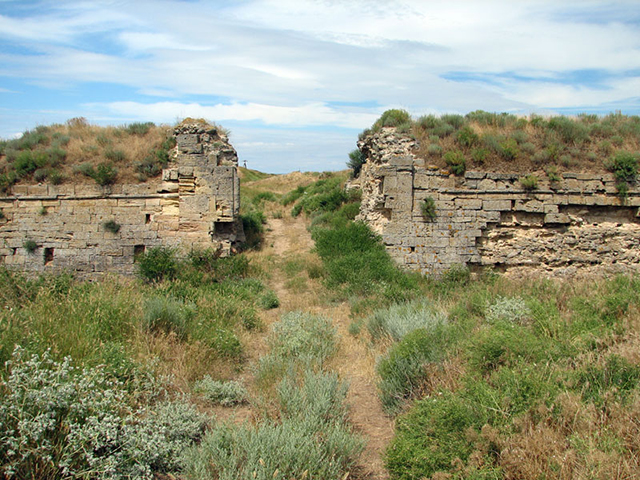
 If a traveler, even the most experienced one, is thrown on the Arabatskaya spit, he will never guess that he got to Ukraine, to the territory adjacent to the Crimean peninsula. The reason for the tourist’s confusion in determining his position without navigational aids, only by indirect signs, will lie in the unearthly landscape and remoteness of the spit from the mainland by the super-saline lake Sivash bay.
The width of the spit of Arabatka, as it is affectionately called by the people, narrows in some places to 270 meters and maximally expands in the south to 8 kilometers. The length of the object is constantly increasing and has already reached 100 kilometers. From the east, Arabatskaya arrow — that’s another name for this miracle scythe, washed by the waters of the Sea of Azov. Arabatka begins near the Kerch Peninsula and ends with the ever narrowing Genic Strait.
The strategically advantageous position was the reason why the Crimean Tatars erected their own fortification structure — Arabatskaya fortress — at the place where the spit joins the Kerch Peninsula.
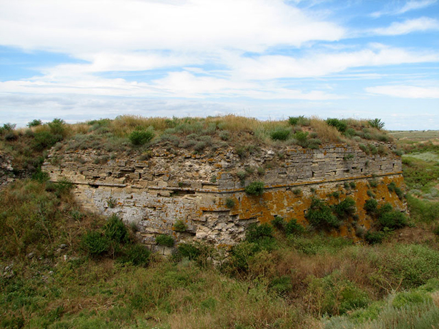 Today here are the lands of the village of Kamenskoye, under the jurisdiction of Semisot village council. In the Middle Ages it was called Ak-Monai. The Tatars who inhabited it were vassals of Turkish sultans. Their vital tasks included preventing the Zaporozhian Cossacks from penetrating into the lands of the South Coast so that Ukrainian warriors could not make its ports into bridgeheads for their attacks on Istanbul.
It was supposed that having traveled about 100 km along the practically deserted and low-water spit, the weakened Cossacks would be met by the Tatar garrison, covered by the walls of the Arabat fortress. For the construction of the fort, stone was taken from the Akmonai quarry, which turned into the Akmonai catacombs after the construction. The fortress was a giant, trapezoidal wall in the shape of the letter «p», not burdened with any architectural excesses such as towers, moats and bridges. In its style, the structure resembled the legendary Karkason castle — one of the most impregnable French strongholds. Perhaps that is why the Arabat fortress was very much liked by Guy Beauplan, a Frenchman who traveled through Eastern Europe to describe all its fortifications.
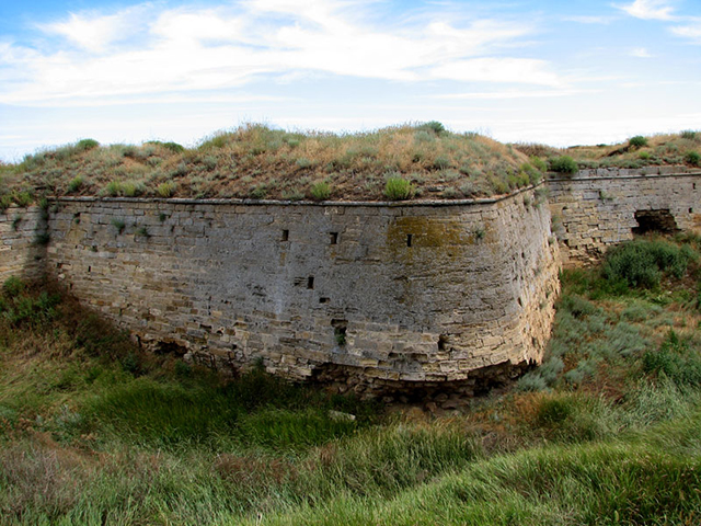 The most interesting thing is that all Boplan’s raptures and descriptions of the fortress, which were sent by Evliya Celebi to the viziers of the Ottoman metropolis, ended after the long-awaited Cossacks approached Ak-Monay. In 1668, koshevoy Ivan Roga and his comrades took the Arabat fortress by storm and slaughtered all the «staff» serving it. The same thing happened in 1737, when Colonel Onisim Bilyi crossed Sivash and captured the Tatar-Turkish fort. The last time it was taken in 1771 by General-Anshef Dolgorukov, who led one of the armies in the Russo-Turkish war. Three successful sieges turned the fortress into a ruin. It is still in this state today.
Tourists vacationing on the Arabatskaya Spit can explore the unfortunate Tatar stronghold, enjoy thalassotherapy in the warm (about 29 °C) Azov Sea, experience the healing power of local thermal, silicon-yodo-bromine waters and explore sights of Shchelkino, the town where the «Republic of Kazantip» begins!