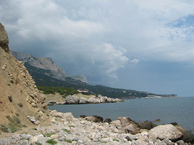
Every Ukrainian schoolchild knows about the existence of Cape Sarych. In the 8th grade, when studying the course «Physical Geography of Ukraine», this object is necessarily mentioned. The fact is that it is the southernmost point of Ukraine. Therefore, knowledge of its geographical position and the ability to show Mys Sarych on the map is one of the requirements of the program drawn up by the Ministry of Education of the country.
This cape is located on the most prominent in the sea section of the Crimean Peninsula, formed by the last spurs of the Baidar Yayla. Curiously, the southernmost point of Ukraine with the northernmost point of Turkey — Cape Kerempe, is separated by a distance of only 228.5 kilometers. The nearest Ukrainian settlement to this remarkable geographical object is the village of Foros.
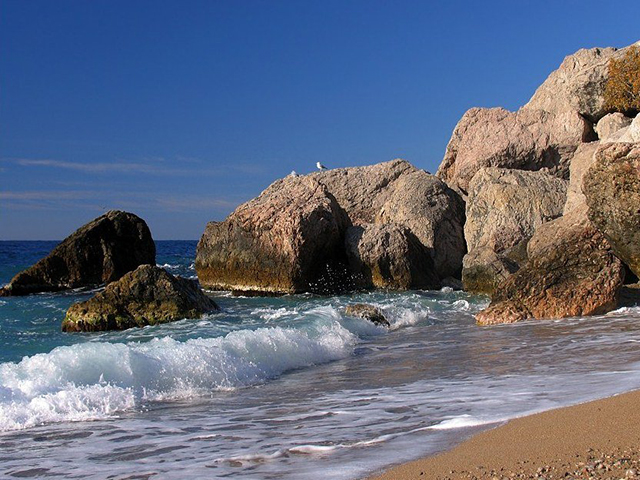
The name of Cape Sarych comes from the Tatar word for golden cloth. Giving this rock such a romantic name, the locals had in mind a special, yellow-hot, similar to black gold, color of the hills adjacent to the cape — the last children of the Baidar Yayla. But the Greeks, who came to colonize the coast of Pontus Axinus, called the cape Kriu-Metopon, i.e. «Mutton’s forehead», referring to the steepness and arrogance with which it rises above the Black Sea.
It is believed that these «outstanding» virtues were mentioned by Homer in his legendary Odyssey. The king of Ithaca, who led the return of his compatriots participating in the Trojan War, came under fire from the tribe of Lestrigonians. Fleeing from the cannibals, according to Homer’s version, who at that time inhabited the shores of Balaklava Bay, the Hellenes found shelter on Cape Sarych, just until they drew the eye of the sorceress Kirka, who turned the Greeks into a herd of pigs. Thanks to their morphology, Cape Sarych and Balaklava Bay became the negative, albeit heroes, of one of the most important classical poems of the human race.
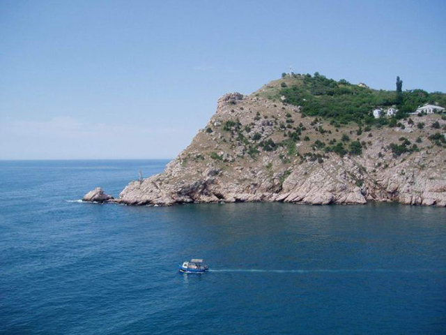
By the way, the same Greeks first noted the unique flora of Cape Sarych. These are shrubs, which themselves have become the subject of legends. For example, frankincense and juniper, ivy, which served as clothing menadam, and strawberry tree, losing bark from careless touch. The bulk of the «legendary Flora» is diluted by rare cypresses and Abraham trees, thickets of blackberries and rosehips, and boundless fields of capers, milkweed, and madder cucumbers. The latter plants sway to the rhythm of the sea and remind of the times when only the sorceress Kirka reigned here.
In addition to the place of forced rest of Odysseus, Cape Sarych became famous as one of the battle areas of Russian and German troops during the First World War. The cruisers «Geben» and «Breslau» ran into the battleships «Efstathius», «John Chrysostom», «Three Saints» and «Panteleimon». A firefight ensued. Curiously, the pierced German ships managed to swim to the Turkish shores, while most of the Russian ones barely made it to the Sevastopol docks.
Today Cape Sarych is a popular tourist attraction, just like the sights of Foros. Geography lovers, botanists and those who are interested in the mystical energy reserves of the Crimean land love to come here. After all, it was here that one of the residences of Apollo’s daughter, a relative of Hecate and Medea, the divine Kirky, who with a wave of her hand turned men into pigs and kings into her willing captives, was located.