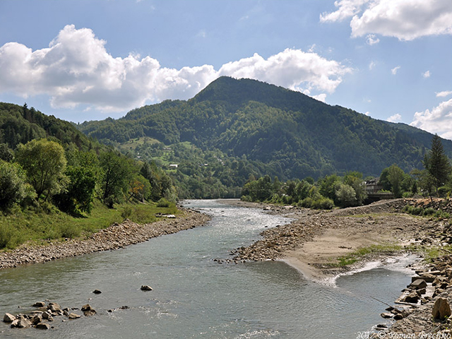
 The Cheremosh River is as much a symbol of the Carpathian region as the embossed profiles of the local mountains, the numerous mineral water springs, the aroma of herbs from the alpine meadows and the colorfulness of the locals, outshining the natives of any land area on our Earth.
Cheremosh river is small, but very noisy and picturesque. It is formed at the confluence of its two tributaries — the Black and White Cheremosh. The residents of Usteriki village and its guests can admire the miracle of Cheremosh’s birth. Once formed, the young river carries its waters to the Prut (village Nepolokivtsi), which in turn flows into the Danube. As a result, the waters of all these rivers feed «fresh blood» to the great Pont Aksinsky, commonly referred to as the Black Sea.
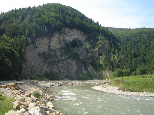 The Cheremosh flows through the territory of Ivano-Frankivsk and Chernivtsi regions, in those places, which are designated as historical and geographical regions — Hutsulshchyna and Bukovyna respectively. The length of the Cheremosh itself is 80 km. Interestingly, but almost the same length is recorded for its relatives: Black Cheremosh — 87 km, and White — 80 km.
The Cheremosh is characterized by the absence of stable ice cover, May floods, during which the water level rises by an average of 2 meters, and summer low water. Both in summer and in autumn, due to intensive rains or unexpected snow melt, floods are possible, which over the last 15 years have become destructive: water demolishes bridges, knocks down houses, power transmission towers and washes out roads.
The river valley of the Cheremosh has a clear division into 2 parts. In the upper reaches, it is a typical mountain river, tearing through the ridges of the Pokutsko-Bukovyna Carpathians. The maximum speed of its flow reaches 5 m/s. The river is twisted like a zhizh. Its valley is narrow, its banks are steep, and its bed is strewn with rapids that attract water tourists. In its lower course, which begins after Vyzhnitsa, the river slows down to 1.2 m/s, and its valley widens, giving the Cheremosh the opportunity to periodically change its channel pattern, depending on floods, the time of year and the amount of water it carries.
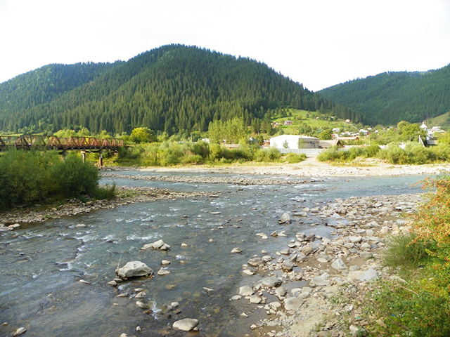 While today the Cheremosh is one of the spring and summer hangouts for tourists who love extreme rafting, it used to be the main transportation artery for bokorashivas. These are the people who were in the business of bringing timber to the plains. And taking into account the fact that roads in those times were less than nowadays, the Cheremosh became the main transportation artery of the region. Bokorashiv artels used to tie rafts of spruce and fir logs and float them downstream, admiring the river’s bends, the layering of rocks and the paws of spruce trees overhanging the riverbed. In other words, the place that today is a route for sports tourism competitions, category water hikes and summer rafting used to be a workplace for local residents.
Thanks to Cheremosh, the few sights of Vizhnitsa — a couple of churches of different denominations, the Nazariy Yaremchuk Museum and the Austro-Hungarian-era train station — are high on the tourist’s value list. After all, many of those who came to the Carpathians do not miss the opportunity to see the legendary Cheremosh, and some specifically plan vacation in Vizhnica to raft down the river, in the manner of the ancient bokarashivas.